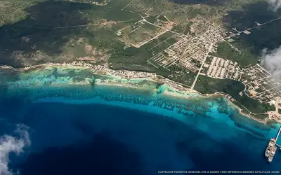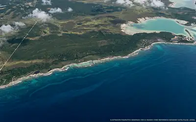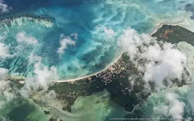
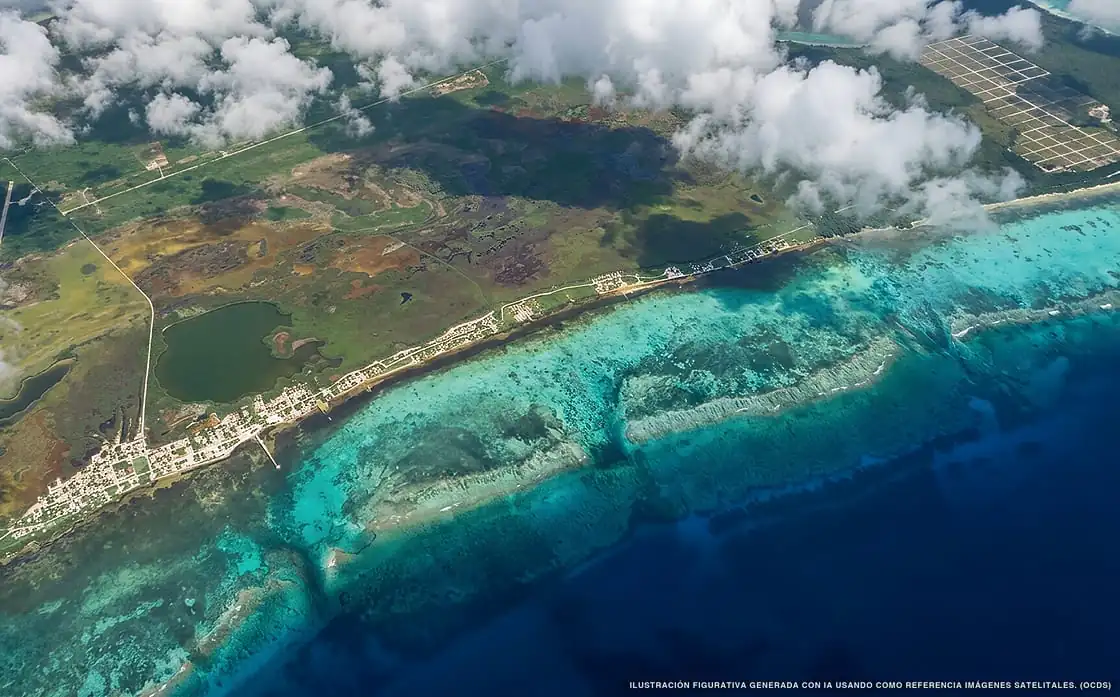
Sargassum in Xcalak
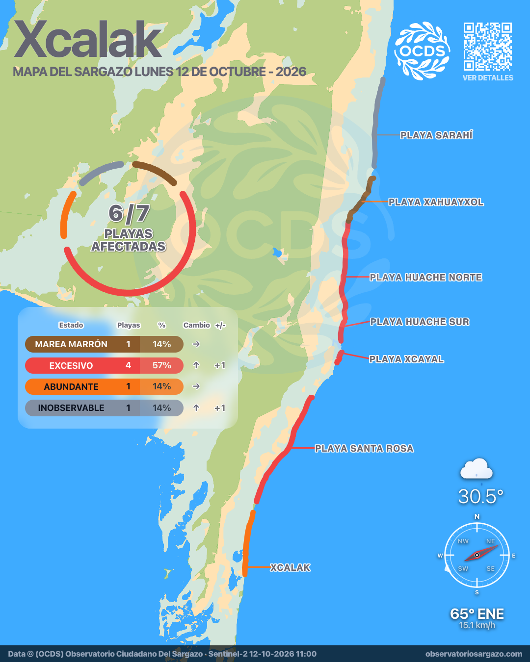
Of all 7 beaches:
6 with sargassum 1 unobservable
556,491 m² of sargassum detected
Which beaches in Xcalak are most affected today?
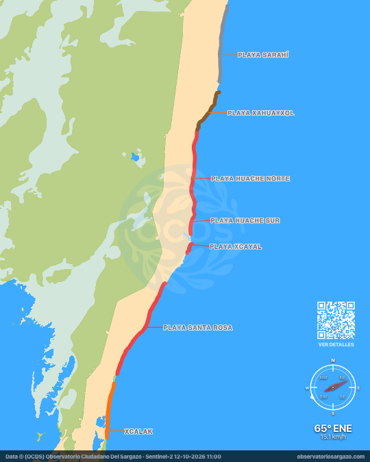
In the October 12, 2026 satellite pass we detected sargassum on 5 beaches of Xcalak and brown tide on 1, none clear. The most affected are Playa Xahuayxol and Playa Huache Sur. If you're looking for somewhere to swim, the ones with the least sargassum are Xcalak and Playa Huache Norte. One more beach was covered by clouds this pass.
Satellite observation of sargassum in Xcalak
| Status | Beaches | % | Change | ± |
|---|---|---|---|---|
| Clear | 0 | 0 % | — | 0 |
| Low | 0 | 0 % | ↑ | +1 |
| Moderate | 0 | 0 % | ↓ | −3 |
| Abundant | 1 | 14 % | — | 0 |
| Excessive | 4 | 57 % | ↑ | +1 |
| Brown tide | 1 | 14 % | — | 0 |
| Unobservable | 1 | 14 % | ↑ | +1 |
In our satellite observation, clouds hid 1 of the 7 beaches of Xcalak. Of the 6 visible, 1 has brown tide and 4 have excessive sargassum and 1 abundant. The remaining 0 are clear.

-
Hotels with no sargassum in Xcalak
None today. Of the 2 hotels we monitor in Xcalak, none is free of sargassum in the observation of October 12, 2026. These are the 2 with the least.
We do not list hotels under dense cloud: without an image there is no measurement.
View all hotels in Xcalak -
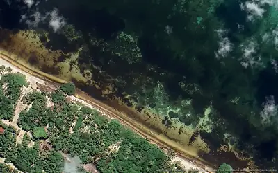 Excessive
 Sol y Arena Xcalak
100 % of 150 m. with sargassum
-
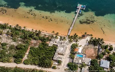 Excessive
 Costa de Cocos Xcalak
100 % of 50 m. with sargassum
What has changed in Xcalak recently?
Changes since Oct 7
Since our previous observation, on Wednesday, October 7, Playa Huache Sur and Playa Huache Norte worsened. Playa Xcayal and Playa Xahuayxol improved.
Sargassum observed in Xcalak
556,491 m² of sargassum detected in the zone.
- Previous
(Oct 7) - 763,082 m²
- Current
(Oct 12) - 556,491 m²
- Difference
(Decrease) - −206,591 m²
Current beach status in Xcalak
-
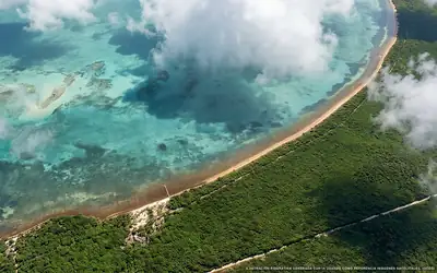 Excessive
 Playa Huache Sur
81 % of 1.6 km. with sargassum
-
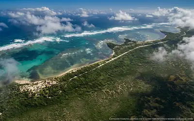 Excessive
 Playa Xcayal
0 % of 1.1 km. with sargassum
-
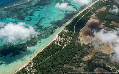 Excessive
 Playa Santa Rosa
65 % of 9.2 km. with sargassum
-
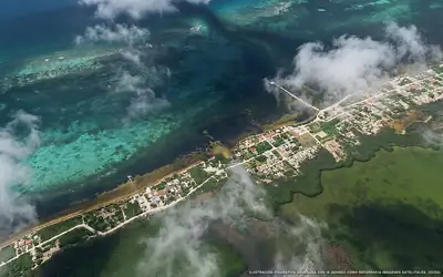 Abundant
 Xcalak
59 % of 6 km. with sargassum
-
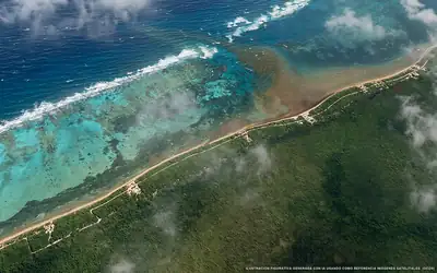 Excessive
 Playa Huache Norte
56 % of 7.7 km. with sargassum
-
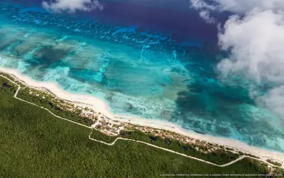 Unobservable
 Playa Sarahí
Dense clouds over the beach
-
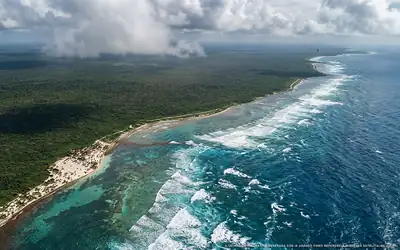 Brown tide
 Playa Xahuayxol
50 % of 4.1 km. with sargassum