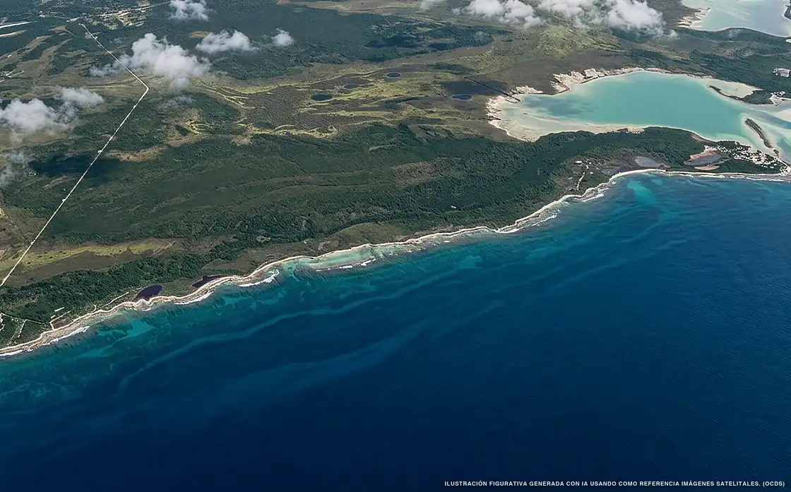
Sargassum in Costa Maya
Of all 15 beaches:
15 with sargassum
1.34 km² of sargassum detected
Current sargassum situation in Costa Maya
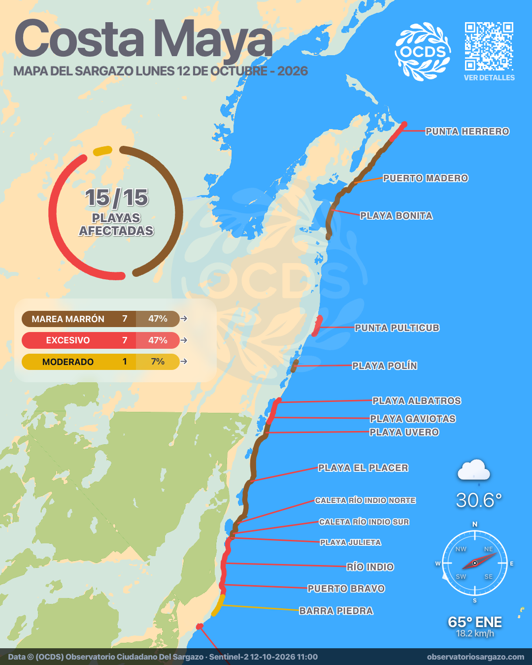
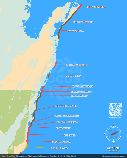
In the October 12, 2026 satellite pass we detected sargassum on 8 beaches of Costa Maya and brown tide on 7, none clear. The most affected are Playa El Placer and Playa Polín. If you're looking for somewhere to swim, the ones with the least sargassum are Barra Piedra and Playa Gaviotas.
Satellite observation of sargassum in Costa Maya
| Status | Beaches | % | Change | ± |
|---|---|---|---|---|
| Clear | 0 | 0 % | — | 0 |
| Low | 0 | 0 % | ↑ | +2 |
| Moderate | 1 | 7 % | — | 0 |
| Abundant | 0 | 0 % | ↓ | −2 |
| Excessive | 7 | 47 % | — | 0 |
| Brown tide | 7 | 47 % | — | 0 |
| Unobservable | 0 | 0 % | — | 0 |
In the satellite pass we reviewed the 15 beaches of Costa Maya. Of these, 7 have brown tide and 7 have excessive sargassum and 1 moderate.

-
Hotels with no sargassum in Costa Maya
None today. Of the 1 hotels we monitor in Costa Maya, none is free of sargassum in the observation of October 12, 2026. This is the one with the least.
We do not list hotels under dense cloud: without an image there is no measurement.
View all hotels in Costa Maya -
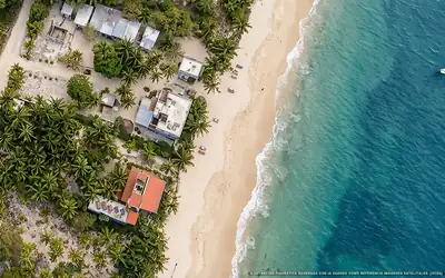 Excessive
 Pronoia Casa de Playa
100 % of 70 m. with sargassum
What has changed in Costa Maya recently?
Changes since Oct 7
Since our previous observation, on Wednesday, October 7, Playa Bonita went from high to brown tide. 5 beaches improved, including Puerto Madero, Barra Piedra and Playa Gaviotas.
Sargassum observed in Costa Maya
1,340,611 m² of sargassum detected in the zone.
- Previous
(Oct 7) - 1,594,946 m²
- Current
(Oct 12) - 1,340,611 m²
- Difference
(Decrease) - −254,335 m²
Current beach status in Costa Maya
-
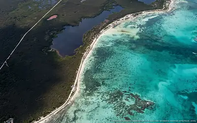 Excessive
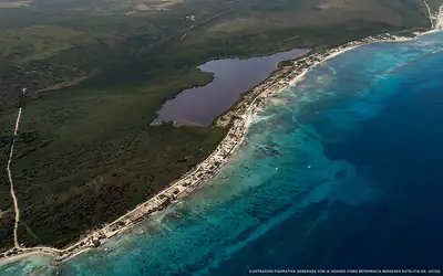
 Playa Julieta
68 % of 2.2 km. with sargassum
-
 Brown tide
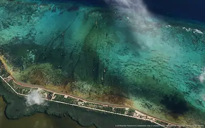
 Playa El Placer
88 % of 9.3 km. with sargassum
-
 Excessive
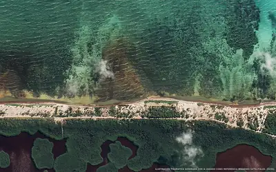
 Playa Albatros
64 % of 1.4 km. with sargassum
-
 Brown tide
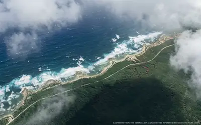
 Playa Polín
51 % of 1.3 km. with sargassum
-
 Excessive
 Punta Pulticub
79 % of 3.1 km. with sargassum
-
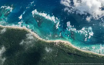 Brown tide
 Puerto Madero
59 % of 8.7 km. with sargassum
-
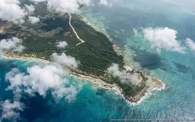 Excessive
 Punta Herrero
30 % of 2.2 km. with sargassum
-
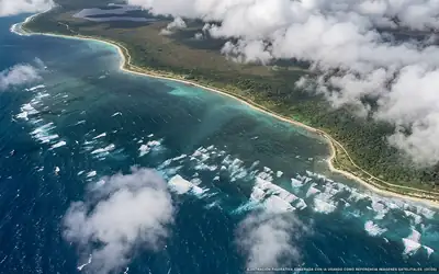 Brown tide
 Playa Bonita
72 % of 7.5 km. with sargassum
-
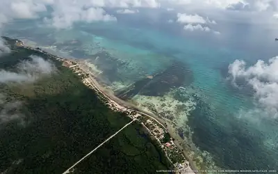 Excessive
 Puerto Bravo
91 % of 3.1 km. with sargassum
-
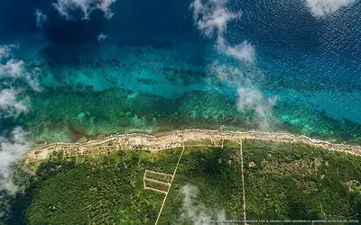 Moderate
 Barra Piedra
14 % of 2.6 km. with sargassum
-
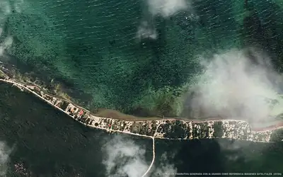 Excessive
 Río Indio
79 % of 3.1 km. with sargassum
-
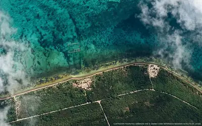 Brown tide
 Playa Uvero
96 % of 4.1 km. with sargassum
-
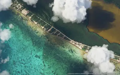 Excessive
 Playa Gaviotas
94 % of 1.9 km. with sargassum
-
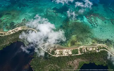 Brown tide
 Caleta Río Indio Sur
94 % of 1.2 km. with sargassum
-
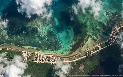 Brown tide
 Caleta Río Indio Norte
87 % of 2.3 km. with sargassum