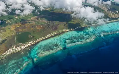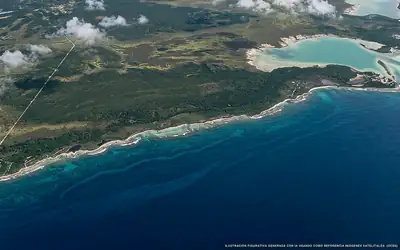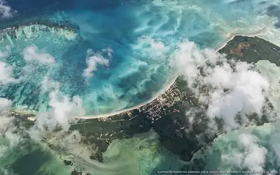
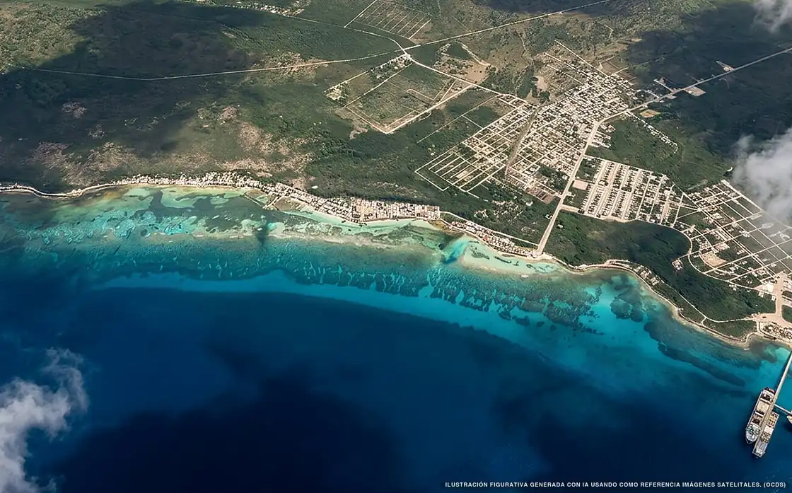
Sargassum in Mahahual
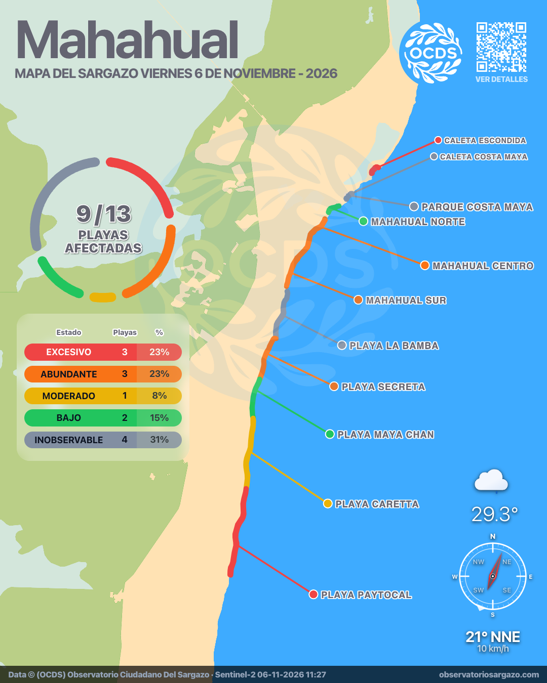
Of all 13 beaches:
9 with sargassum 4 unobservable
155,019 m² of sargassum detected
Which beaches in Mahahual are most affected today?
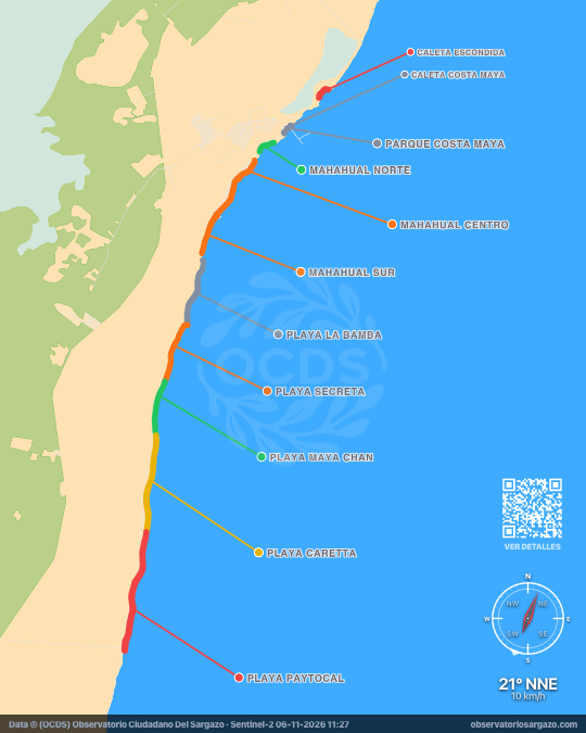
In the November 6, 2026 satellite pass we detected sargassum on all 9 beaches of Mahahual, none clear. The most affected are Playa Paytocal and Punta Herradura. If you're looking for somewhere to swim, the ones with the least sargassum are Playa Maya Chan and Mahahual Norte. Another 4 beaches were covered by clouds this pass.
Satellite observation of sargassum in Mahahual
| Status | Beaches | % | Change | ± |
|---|---|---|---|---|
| Clear | 0 | 0 % | ↑ | +1 |
| Low | 2 | 15 % | ↓ | −1 |
| Moderate | 1 | 8 % | ↑ | +1 |
| Abundant | 3 | 23 % | ↓ | −3 |
| Excessive | 3 | 23 % | ↓ | −2 |
| Brown tide | 0 | 0 % | — | 0 |
| Unobservable | 4 | 31 % | ↑ | +4 |
In our satellite observation, clouds hid 4 of the 13 beaches of Mahahual. Of the 9 visible, 3 have excessive sargassum, 3 abundant, 1 moderate and 2 low. The remaining 0 are clear.

-
Hotels with no sargassum in Mahahual
Of the 12 hotels we monitor in Mahahual, 1 shows no sargassum in the observation of November 6, 2026.
We do not list hotels under dense cloud: without an image there is no measurement.
View all hotels in Mahahual -
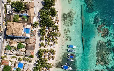 Clear
Hotel El Caballo Blanco
0 % of 50 m. with sargassum
What has changed in Mahahual recently?
Changes since Nov 1
Since our previous observation, on Sunday, November 1, Caleta Escondida worsened. Playa Maya Chan and Playa Caretta improved.
Sargassum observed in Mahahual
155,019 m² of sargassum detected in the zone.
- Previous
(Nov 1) - 213,213 m²
- Current
(Nov 6) - 155,019 m²
- Difference
(Decrease) - −58,194 m²
Current beach status in Mahahual
-
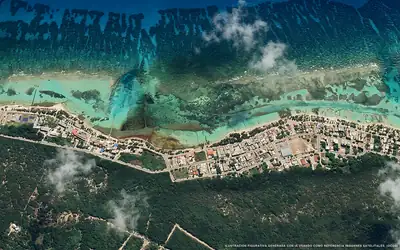 Abundant
Mahahual Centro
42 % of 1.8 km. with sargassum
-
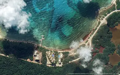 Low
Mahahual Norte
10 % of 500 m. with sargassum
-
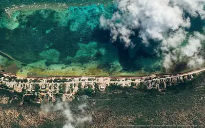 Abundant
Mahahual Sur
42 % of 1.1 km. with sargassum
-
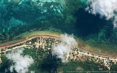 Unobservable
Playa La Bamba
Dense clouds over the beach
-
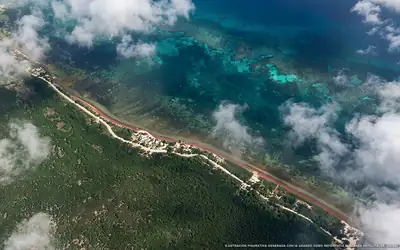 Abundant
Playa Secreta
51 % of 1.6 km. with sargassum
-
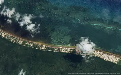 Low
Playa Maya Chan
4 % of 1.5 km. with sargassum
-
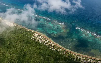 Moderate
Playa Caretta
27 % of 2.6 km. with sargassum
-
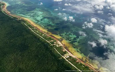 Excessive
Playa Paytocal
67 % of 3.2 km. with sargassum
-
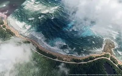 Excessive
Punta Herradura
85 % of 1 km. with sargassum
-
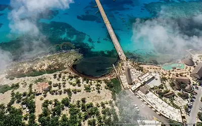 Unobservable
Caleta Costa Maya
Dense clouds over the beach
-
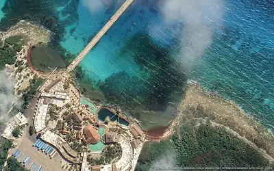 Unobservable
Parque Costa Maya
Dense clouds over the beach
-
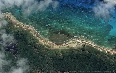 Unobservable
Playa Virgen
Dense clouds over the beach
-
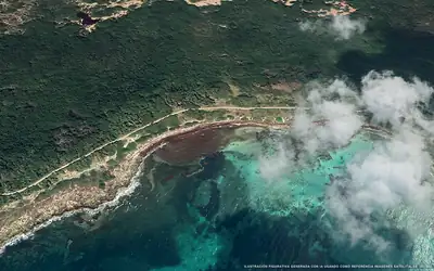 Excessive
Caleta Escondida
97 % of 400 m. with sargassum