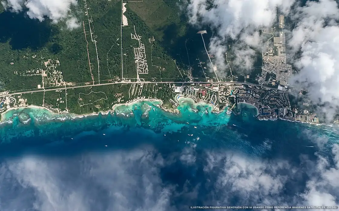
Sargassum in Riviera Maya
Of all 15 beaches:
2 no sargassum 13 with sargassum
80,824 m² of sargassum detected
Current sargassum status on Riviera Maya beaches
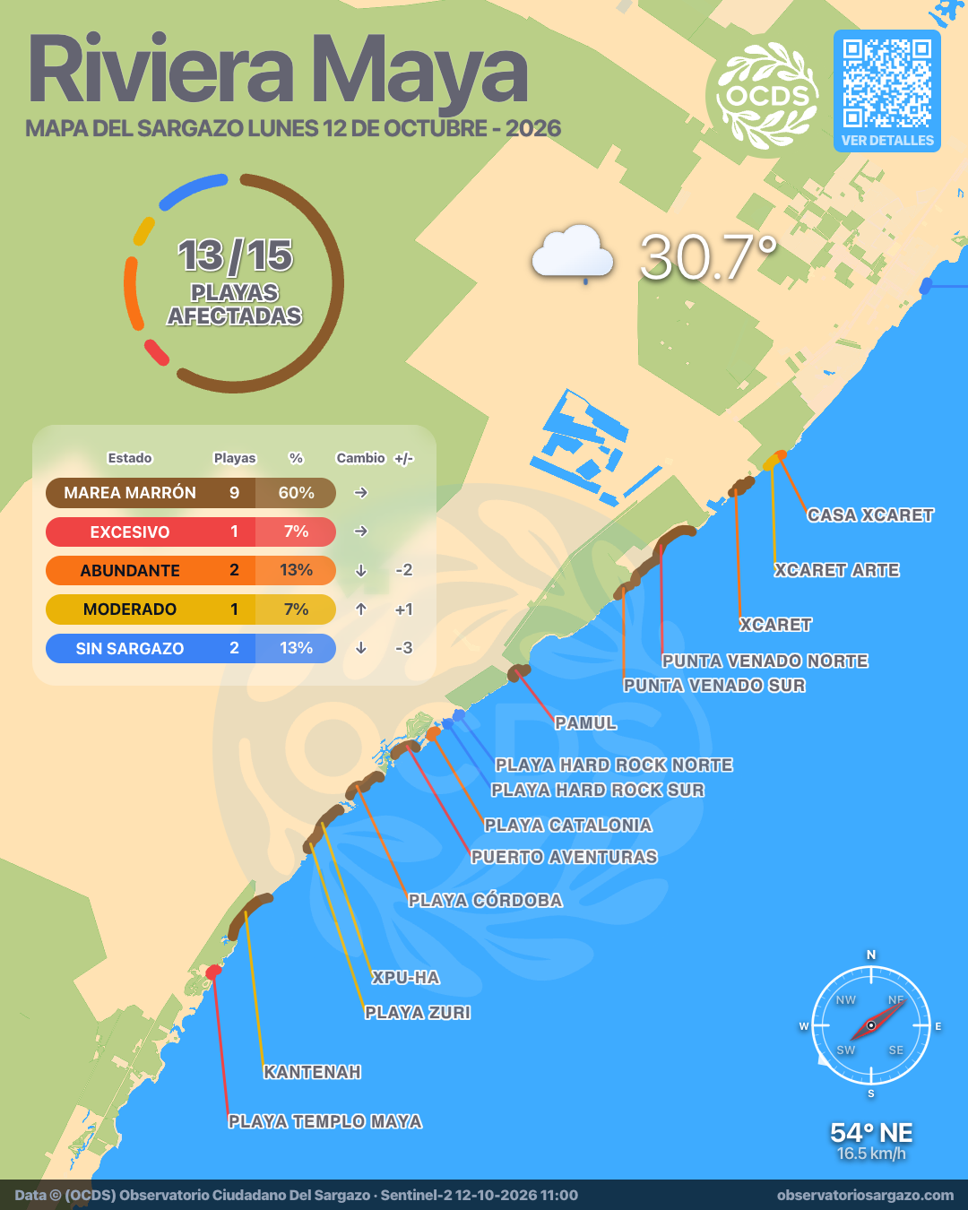
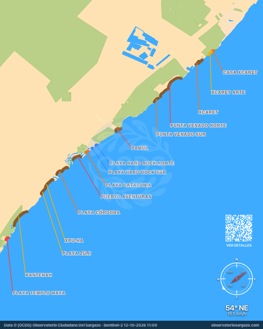
In the October 12, 2026 satellite pass, most beaches of Riviera Maya have sargassum or brown tide. 4 have sargassum and 9 brown tide of 15. For swimming, the best options are Playa Hard Rock Sur and Playa Hard Rock Norte. The most affected are Xcaret and Punta Venado Norte.
Satellite observation of sargassum in Riviera Maya
| Status | Beaches | % | Change | ± |
|---|---|---|---|---|
| Clear | 2 | 13 % | ↓ | −3 |
| Low | 0 | 0 % | ↑ | +4 |
| Moderate | 1 | 7 % | ↑ | +1 |
| Abundant | 2 | 13 % | ↓ | −2 |
| Excessive | 1 | 7 % | — | 0 |
| Brown tide | 9 | 60 % | — | 0 |
| Unobservable | 0 | 0 % | — | 0 |
In the satellite pass we reviewed the 15 beaches of Riviera Maya. Of these, 9 have brown tide and 1 has excessive sargassum, 2 abundant and 1 moderate. The other 2 are clear.

-
Hotels with no sargassum in Riviera Maya
Of the 19 hotels we monitor in Riviera Maya, these 4 show no sargassum in the observation of October 12, 2026.
We do not list hotels under dense cloud: without an image there is no measurement.
View all hotels in Riviera Maya -
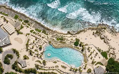 Clear
Clear Grand Palladium Select
0 % of 0 m. with sargassum
-
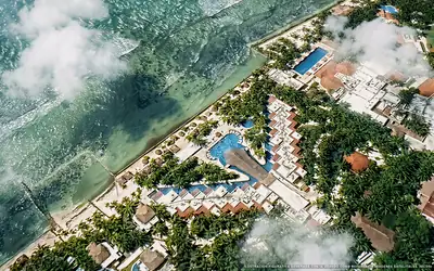 Clear
Clear Hidden Beach Resort Au Naturel
0 % of 0 m. with sargassum
-
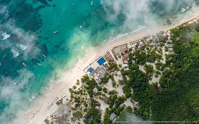 Clear
Clear Serenity Authentic Glamping Tulum
0 % of 270 m. with sargassum
-
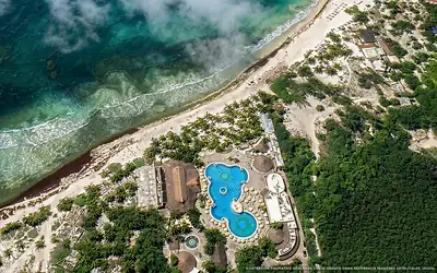 Clear
Clear Catalonia Royal Tulum
0 % of 120 m. with sargassum
What has changed in Riviera Maya recently?
Changes since Oct 7
Since our previous observation, on Wednesday, October 7, 4 new threats detected, including Xcaret, Kantenah and Playa Templo Maya. Puerto Aventuras went from high to brown tide. 6 beaches improved, including Playa Córdoba, Pamul and Xpu-Ha.
Sargassum observed in Riviera Maya
80,824 m² of sargassum detected in the zone.
- Previous
(Oct 7) - 90,133 m²
- Current
(Oct 12) - 80,824 m²
- Difference
(Decrease) - −9,309 m²
Webcams available in Riviera Maya
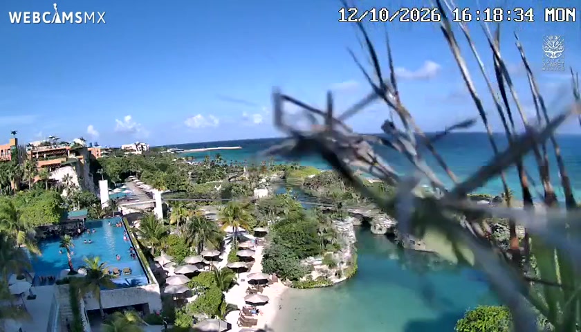
Current beach status in Riviera Maya
-
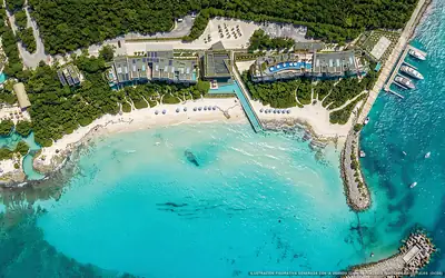 Abundant
 Casa Xcaret
51 % of 320 m. with sargassum
-
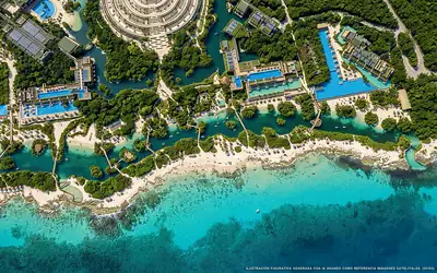 Moderate
 Xcaret Arte
32 % of 410 m. with sargassum
-
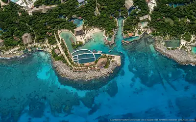 Brown tide
 Xcaret
46 % of 1.7 km. with sargassum
-
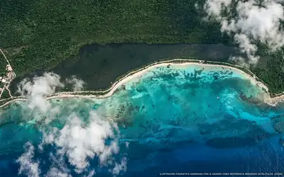 Brown tide
 Punta Venado Norte
66 % of 3 km. with sargassum
-
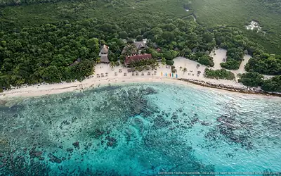 Brown tide
 Punta Venado Sur
42 % of 560 m. with sargassum
-
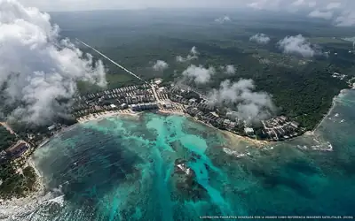 Brown tide
 Pamul
61 % of 890 m. with sargassum
-
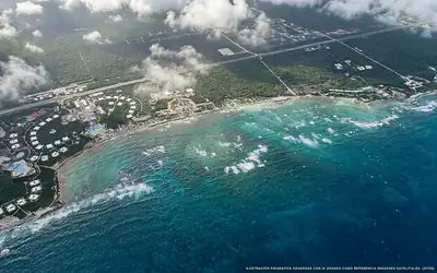 Brown tide
 Kantenah
34 % of 1.9 km. with sargassum
-
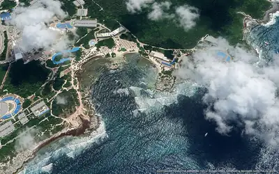 Excessive
 Playa Templo Maya
63 % of 590 m. with sargassum
-
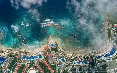 Brown tide
 Playa Córdoba
59 % of 1.4 km. with sargassum
-
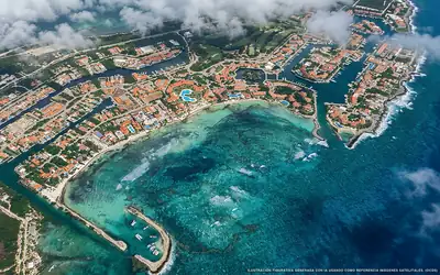 Brown tide
 Puerto Aventuras
68 % of 930 m. with sargassum
-
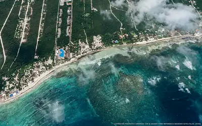 Brown tide
 Xpu-Ha
10 % of 1.5 km. with sargassum
-
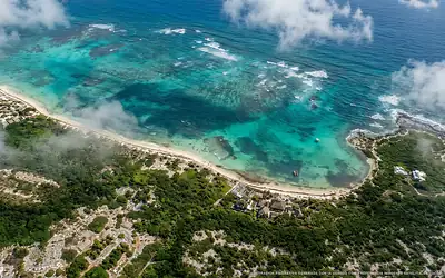 Brown tide
 Playa Zuri
29 % of 470 m. with sargassum
-
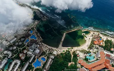 Abundant
 Playa Catalonia
44 % of 350 m. with sargassum
-
 Clear
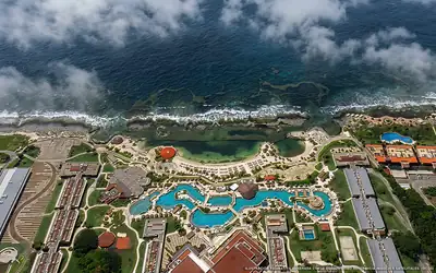
Clear Playa Hard Rock Sur
0 % of 200 m. with sargassum
-
 Clear
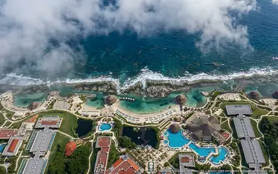
Clear Playa Hard Rock Norte
0 % of 260 m. with sargassum