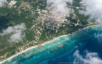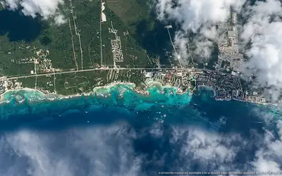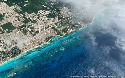
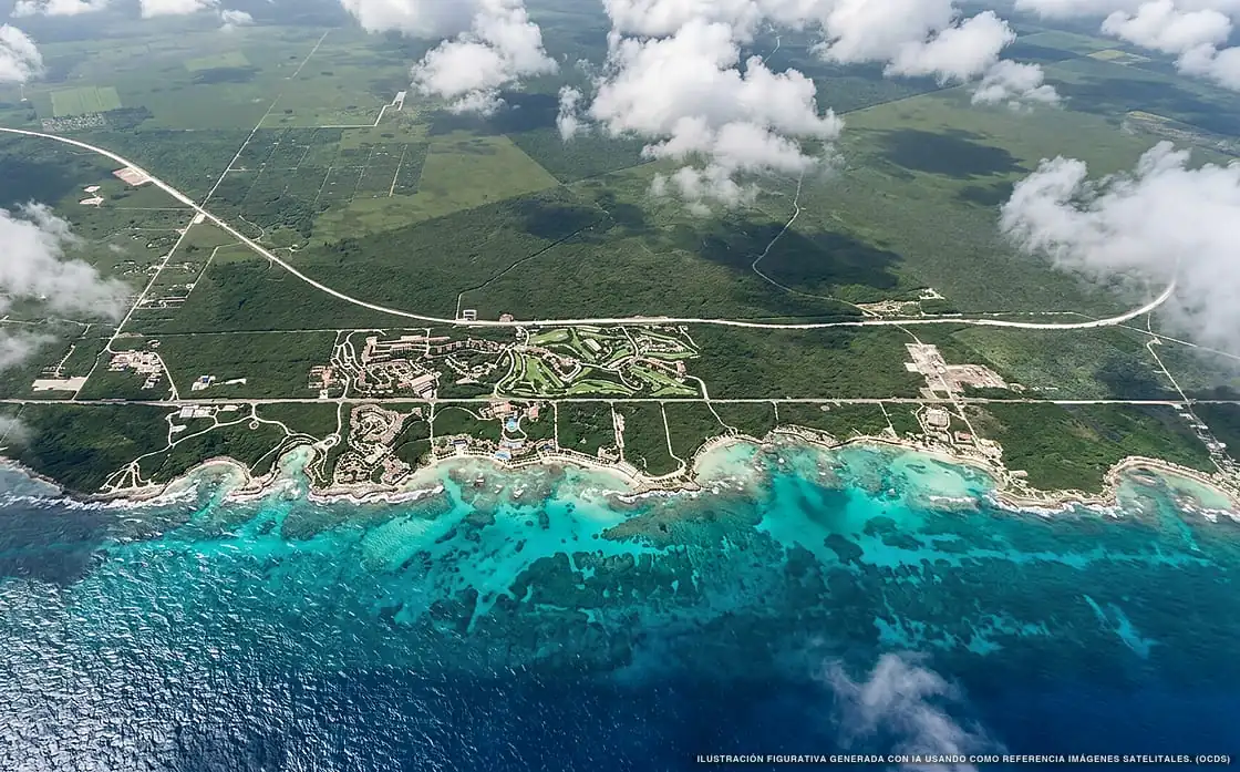
Sargassum in Akumal
Of all 10 beaches:
10 with sargassum
82,503 m² of sargassum detected
Sargassum status beach by beach in Akumal
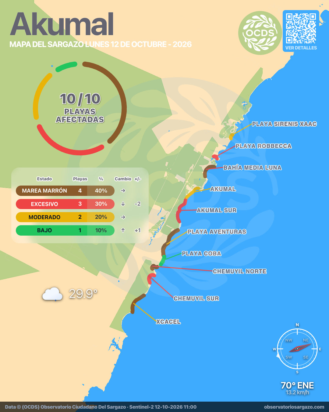
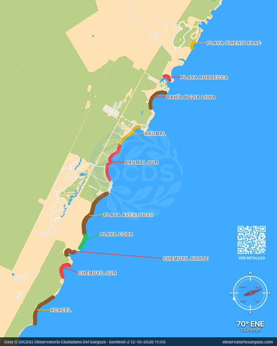
In the October 12, 2026 satellite pass we detected sargassum on 6 beaches of Akumal and brown tide on 4, none clear. The most affected are Bahía Media Luna and Playa Aventuras. If you're looking for somewhere to swim, the ones with the least sargassum are Playa Coba and Akumal.
Satellite observation of sargassum in Akumal
| Status | Beaches | % | Change | ± |
|---|---|---|---|---|
| Clear | 0 | 0 % | ↓ | −2 |
| Low | 1 | 10 % | ↑ | +1 |
| Moderate | 2 | 20 % | — | 0 |
| Abundant | 0 | 0 % | ↑ | +3 |
| Excessive | 3 | 30 % | ↓ | −2 |
| Brown tide | 4 | 40 % | — | 0 |
| Unobservable | 0 | 0 % | — | 0 |
In the satellite pass we reviewed the 10 beaches of Akumal. Of these, 4 have brown tide and 3 have excessive sargassum, 2 moderate and 1 low.

-
Hotels with no sargassum in Akumal
Of the 8 hotels we monitor in Akumal, these 3 show no sargassum in the observation of October 12, 2026.
We do not list hotels under dense cloud: without an image there is no measurement.
View all hotels in Akumal -
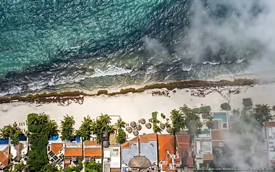 Clear
Clear Villas De Rosa Beach Resort
0 % of 80 m. with sargassum
-
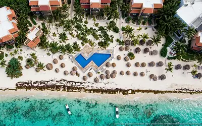 Clear
Clear Grand Oasis Riviera
0 % of 170 m. with sargassum
-
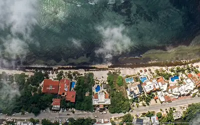 Clear
Clear Tan Ik Beachfront Condos
0 % of 30 m. with sargassum
What has changed in Akumal recently?
Changes since Oct 7
Since our previous observation, on Wednesday, October 7, new sargassum masses are approaching Playa Robbecca and Playa Sirenis Xaac. Bahía Media Luna went from moderate to brown tide. 4 beaches improved, including Xcacel, Akumal and Chemuyil Sur.
Sargassum observed in Akumal
82,503 m² of sargassum detected in the zone.
- Previous
(Oct 7) - 101,864 m²
- Current
(Oct 12) - 82,503 m²
- Difference
(Decrease) - −19,361 m²
Current beach status in Akumal
-
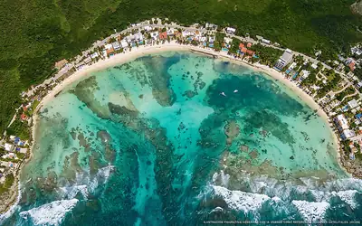 Brown tide
 Bahía Media Luna
86 % of 940 m. with sargassum
-
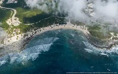 Moderate
 Playa Sirenis Xaac
23 % of 290 m. with sargassum
-
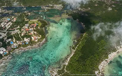 Excessive
 Playa Robbecca
62 % of 330 m. with sargassum
-
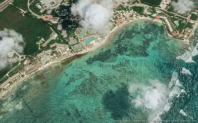 Moderate
 Akumal
37 % of 1 km. with sargassum
-
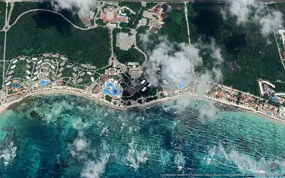 Brown tide
 Playa Aventuras
20 % of 1.8 km. with sargassum
-
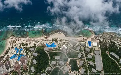 Low
Low Playa Coba
8 % of 510 m. with sargassum
-
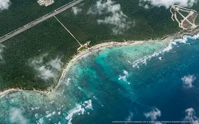 Brown tide
 Xcacel
29 % of 1.3 km. with sargassum
-
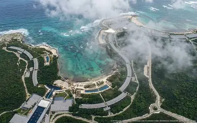 Brown tide
 Chemuyil Norte
69 % of 450 m. with sargassum
-
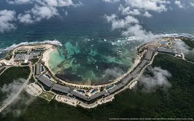 Excessive
 Chemuyil Sur
63 % of 710 m. with sargassum
-
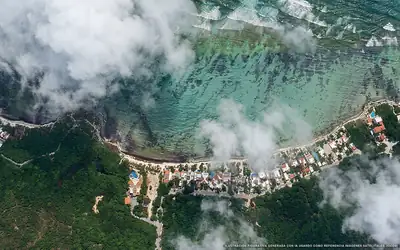 Excessive
 Akumal Sur
88 % of 1.4 km. with sargassum