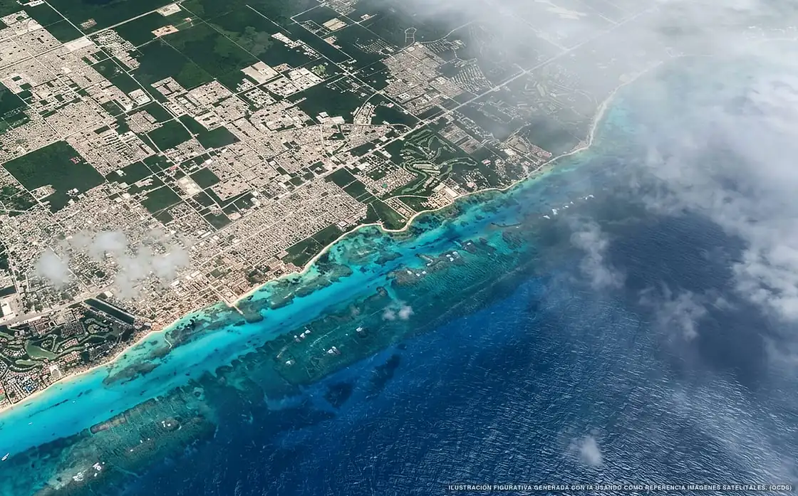
Sargassum in Playa del Carmen
Of all 22 beaches:
3 no sargassum 19 with sargassum
30,217 m² of sargassum detected
Which beaches in Playa del Carmen are affected by sargassum?
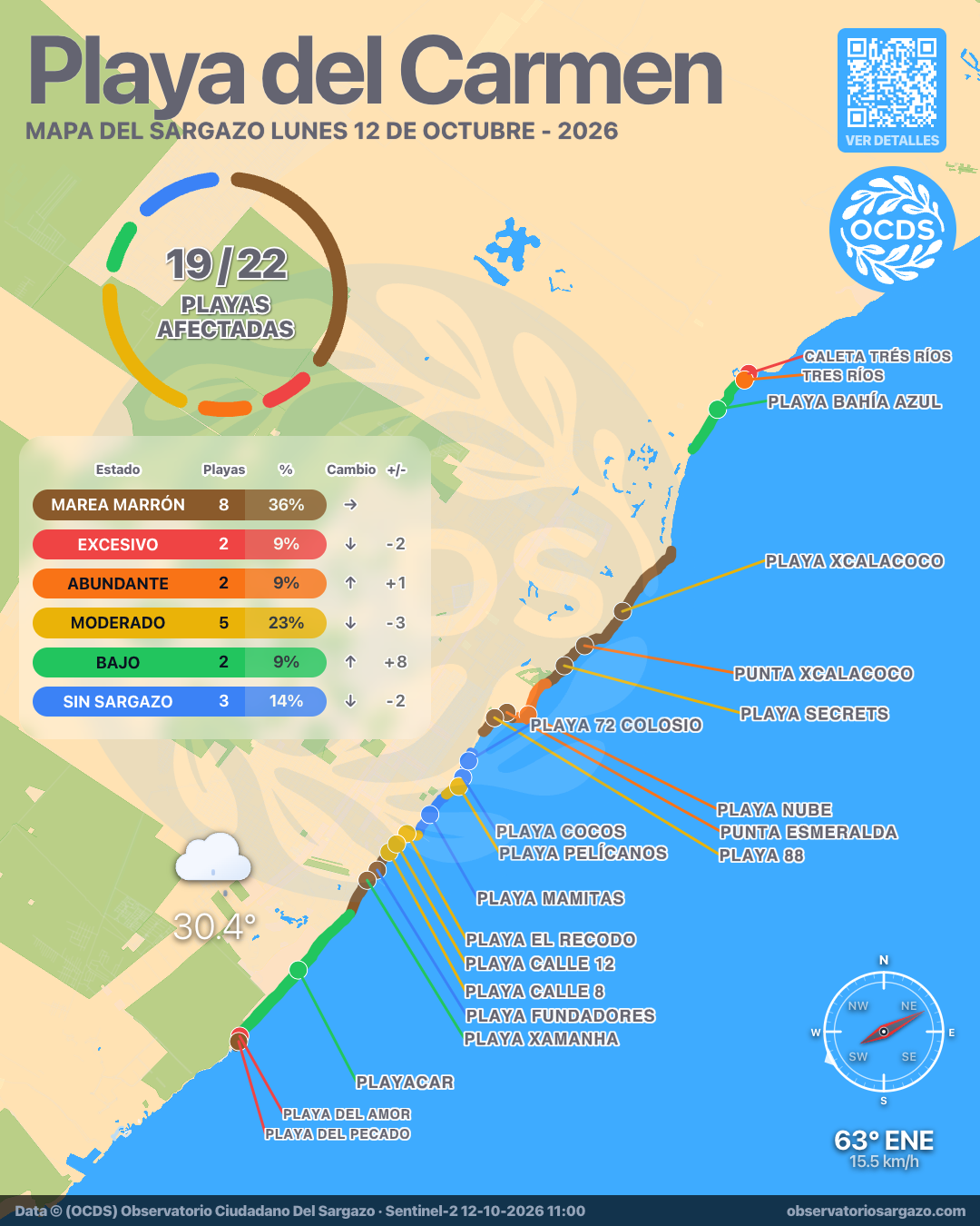
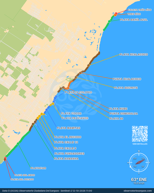
In the October 12, 2026 satellite pass, most beaches of Playa del Carmen have sargassum or brown tide. 11 have sargassum and 8 brown tide of 22. For swimming, the best options are Playa Mamitas and Playa Cocos. The most affected are Playa Xcalacoco and Punta Xcalacoco.
Satellite observation of sargassum in Playa del Carmen
| Status | Beaches | % | Change | ± |
|---|---|---|---|---|
| Clear | 3 | 14 % | ↓ | −2 |
| Low | 2 | 9 % | ↑ | +8 |
| Moderate | 5 | 23 % | ↓ | −3 |
| Abundant | 2 | 9 % | ↑ | +1 |
| Excessive | 2 | 9 % | ↓ | −2 |
| Brown tide | 8 | 36 % | — | 0 |
| Unobservable | 0 | 0 % | ↓ | −2 |
In the satellite pass we reviewed the 22 beaches of Playa del Carmen. Of these, 8 have brown tide and 2 have excessive sargassum, 2 abundant, 5 moderate and 2 low. The other 3 are clear.

-
Hotels with no sargassum in Playa del Carmen
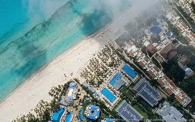
Of the 35 hotels we monitor in Playa del Carmen, these 5 show no sargassum in the observation of October 12, 2026.
We do not list hotels under dense cloud: without an image there is no measurement.
View all hotels in Playa del Carmen - Clear
Viva Maya by Wyndham
0 % of 220 m. with sargassum
- Clear
Viva Azteca by Wyndham
0 % of 160 m. with sargassum
-
 Clear
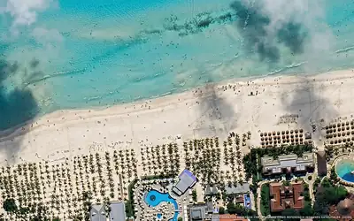
Clear Hotel Riu Yucatán
0 % of 240 m. with sargassum
-
 Clear
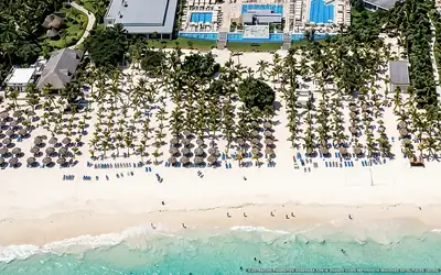
Clear Hotel Riu Palace Mexico
0 % of 260 m. with sargassum
-
 Clear
Clear Hotel Riu Playacar
0 % of 170 m. with sargassum
What has changed in Playa del Carmen recently?
Changes since Oct 7
Since our previous observation, on Wednesday, October 7, 4 new threats detected, including Playa Xcalacoco, Caleta Trés Ríos and Playa 88. Playa del Pecado went from critical to brown tide. 7 beaches improved, including Playa El Recodo, Playa Paraíso and Punta Esmeralda. The masses approaching Playa Fundadores and Playa 72 Colosio dissipated.
Sargassum observed in Playa del Carmen
30,217 m² of sargassum detected in the zone.
- Previous
(Oct 7) - 51,127 m²
- Current
(Oct 12) - 30,217 m²
- Difference
(Decrease) - −20,910 m²
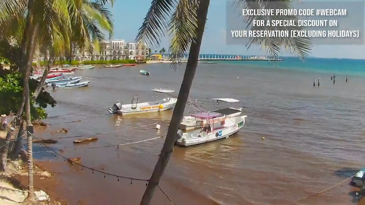
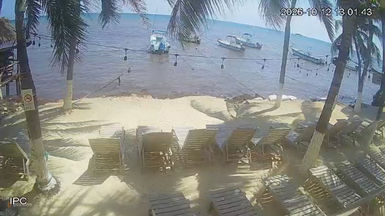
Webcams available in Playa del Carmen
Current beach status in Playa del Carmen
-
 Moderate
 Playa Calle 8
31 % of 120 m. with sargassum
-
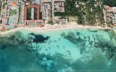 Clear
Clear Playa Mamitas
0 % of 900 m. with sargassum
-
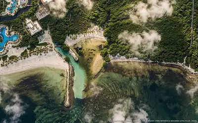 Excessive
 Caleta Trés Ríos
0 % of 80 m. with sargassum
-
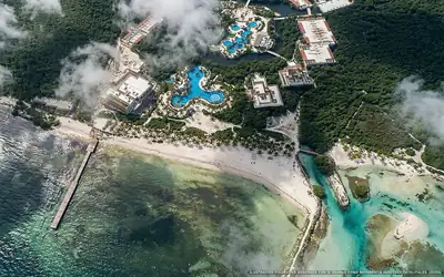 Abundant
 Tres Ríos
51 % of 240 m. with sargassum
-
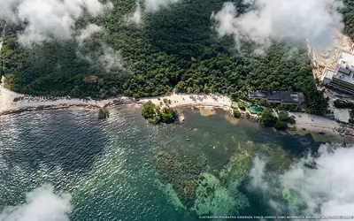 Low
Low Playa Bahía Azul
5 % of 1.6 km. with sargassum
-
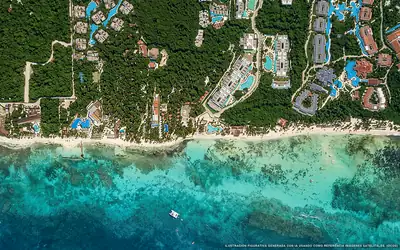 Brown tide
 Playa Xcalacoco
23 % of 2.4 km. with sargassum
-
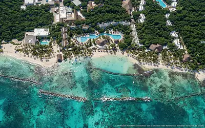 Brown tide
 Punta Xcalacoco
44 % of 230 m. with sargassum
-
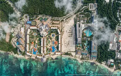 Brown tide
 Playa Secrets
40 % of 920 m. with sargassum
-
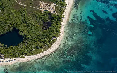 Abundant
 Playa Nube
49 % of 1 km. with sargassum
-
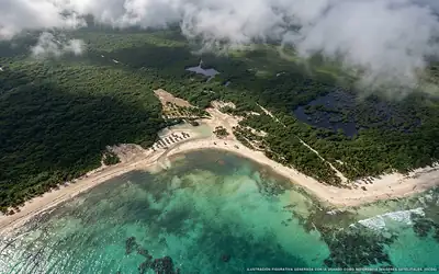 Brown tide
 Punta Esmeralda
55 % of 280 m. with sargassum
-
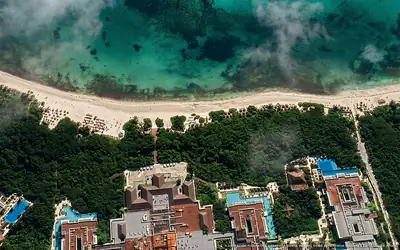 Brown tide
 Playa 88
40 % of 450 m. with sargassum
-
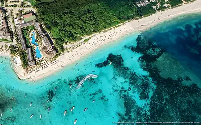 Clear
Clear Playa Cocos
0 % of 340 m. with sargassum
-
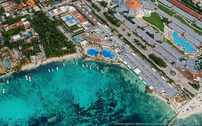 Moderate
 Playa El Recodo
20 % of 390 m. with sargassum
-
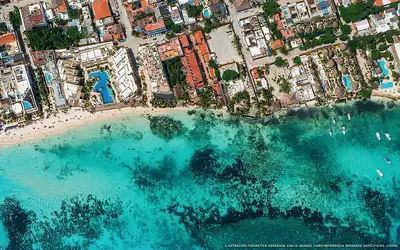 Moderate
 Playa Calle 12
29 % of 280 m. with sargassum
-
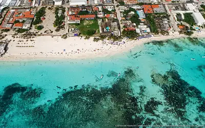 Brown tide
 Playa Fundadores
0 % of 430 m. with sargassum
-
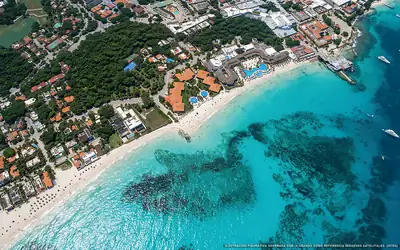 Brown tide
 Playa Xamanha
4 % of 840 m. with sargassum
-
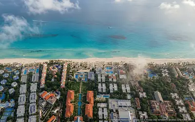 Low
Low Playacar
4 % of 3 km. with sargassum
-
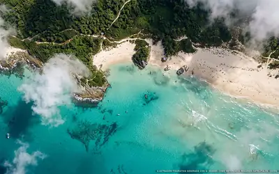 Excessive
 Playa del Amor
100 % of 70 m. with sargassum
-
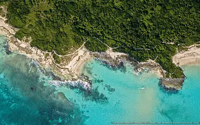 Brown tide
 Playa del Pecado
73 % of 310 m. with sargassum
- Clear
Playa 72 Colosio
0 % of 310 m. with sargassum
-
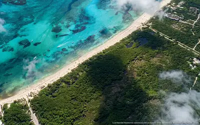 Moderate
 Playa Paraíso
27 % of 430 m. with sargassum
-
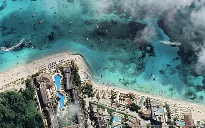 Moderate
 Playa Pelícanos
15 % of 340 m. with sargassum