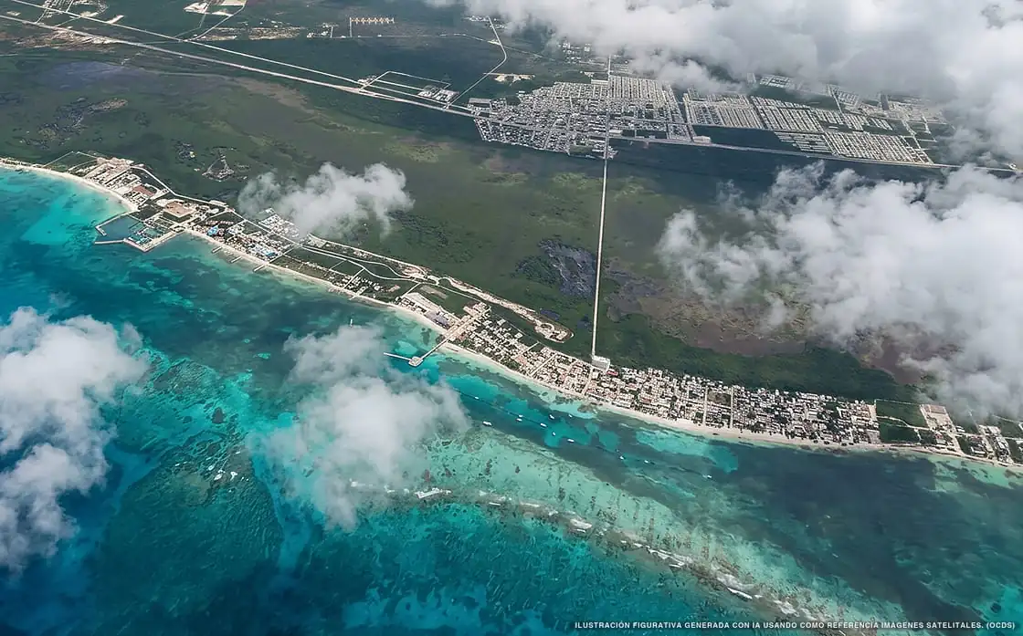
Sargassum in Puerto Morelos
Of all 11 beaches:
11 with sargassum
225,455 m² of sargassum detected
Current sargassum situation in Puerto Morelos
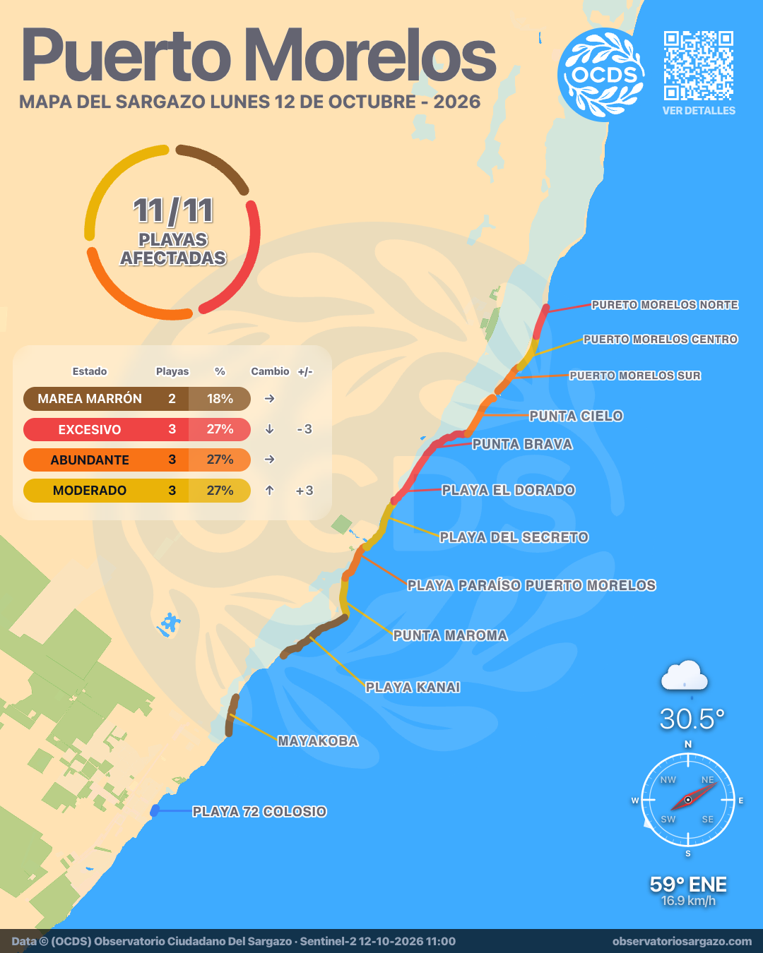
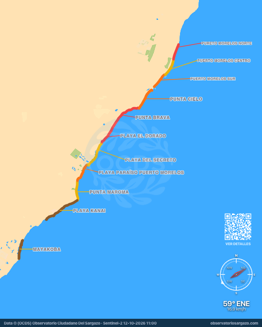
In the October 12, 2026 satellite pass we detected sargassum on 9 beaches of Puerto Morelos and brown tide on 2, none clear. The most affected are Mayakoba and Playa Kanai. If you're looking for somewhere to swim, the ones with the least sargassum are Puerto Morelos Centro and Playa del Secreto.
Satellite observation of sargassum in Puerto Morelos
| Status | Beaches | % | Change | ± |
|---|---|---|---|---|
| Clear | 0 | 0 % | ↓ | −1 |
| Low | 0 | 0 % | ↑ | +3 |
| Moderate | 3 | 27 % | ↑ | +3 |
| Abundant | 3 | 27 % | — | 0 |
| Excessive | 3 | 27 % | ↓ | −3 |
| Brown tide | 2 | 18 % | — | 0 |
| Unobservable | 0 | 0 % | ↓ | −2 |
In the satellite pass we reviewed the 11 beaches of Puerto Morelos. Of these, 2 have brown tide and 3 have excessive sargassum, 3 abundant and 3 moderate.

-
Hotels with no sargassum in Puerto Morelos
Of the 33 hotels we monitor in Puerto Morelos, these 5 show no sargassum in the observation of October 12, 2026.
We do not list hotels under dense cloud: without an image there is no measurement.
View all hotels in Puerto Morelos -
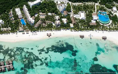 Clear
Clear El Dorado Maroma
0 % of 260 m. with sargassum
-
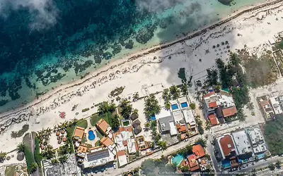 Clear
Clear Makuuch Cabañas
0 % of 60 m. with sargassum
-
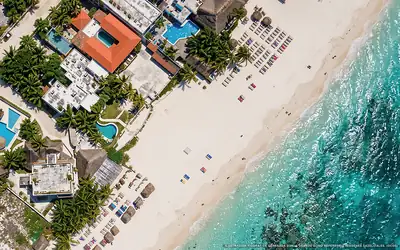 Clear
Clear Kabañas Ojo de Agua
0 % of 90 m. with sargassum
-
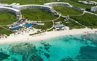 Clear
Clear The St. Regis Kanai Resort
0 % of 580 m. with sargassum
-
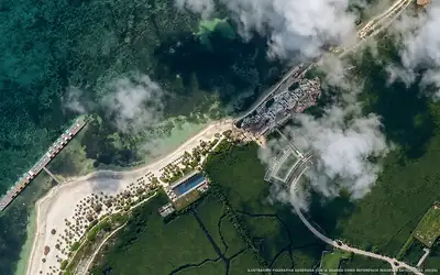 Clear
Clear The Riviera Maya EDITION At Kanai
0 % of 280 m. with sargassum
What has changed in Puerto Morelos recently?
Changes since Oct 7
Since our previous observation, on Wednesday, October 7, a new sargassum mass is approaching Punta Maroma. 4 beaches improved, including Punta Cielo, Puerto Morelos Sur and Puerto Morelos Centro.
Sargassum observed in Puerto Morelos
225,455 m² of sargassum detected in the zone.
- Previous
(Oct 7) - 332,363 m²
- Current
(Oct 12) - 225,455 m²
- Difference
(Decrease) - −106,908 m²
Current beach status in Puerto Morelos
-
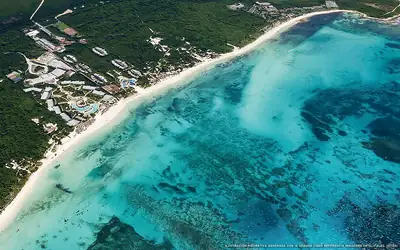 Moderate
 Punta Maroma
32 % of 2.1 km. with sargassum
-
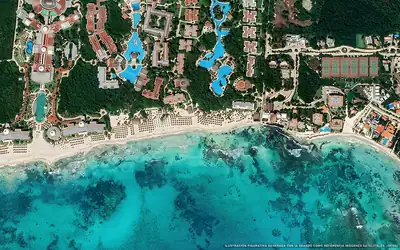 Abundant
 Playa Paraíso Puerto Morelos
51 % of 2 km. with sargassum
-
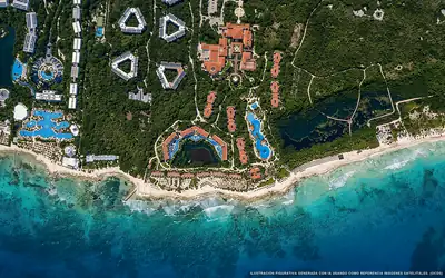 Moderate
 Playa del Secreto
39 % of 2.9 km. with sargassum
-
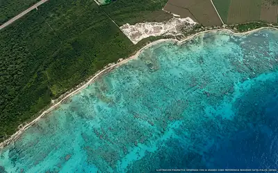 Excessive
 Punta Brava
82 % of 3.5 km. with sargassum
-
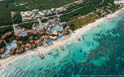 Abundant
 Puerto Morelos Sur
42 % of 1.5 km. with sargassum
-
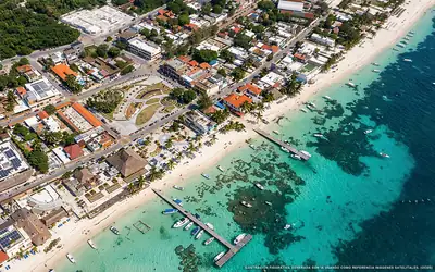 Moderate
 Puerto Morelos Centro
24 % of 1.8 km. with sargassum
-
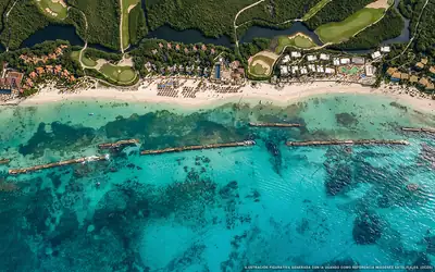 Brown tide
 Mayakoba
18 % of 2 km. with sargassum
-
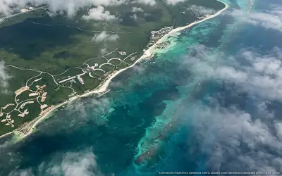 Brown tide
 Playa Kanai
23 % of 3.9 km. with sargassum
-
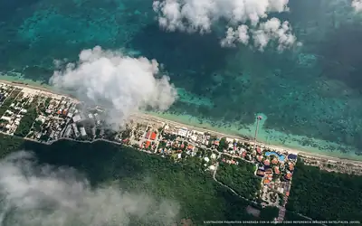 Excessive
 Pureto Morelos Norte
67 % of 1.6 km. with sargassum
-
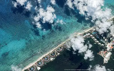 Excessive
 Playa El Dorado
74 % of 2.1 km. with sargassum
-
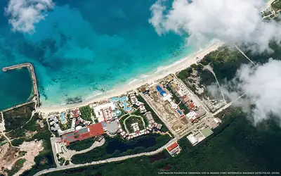 Abundant
 Punta Cielo
49 % of 2.3 km. with sargassum